Generation of Landscape Models of the North Sea Coastal Region based on Historical Topographic Survey Data
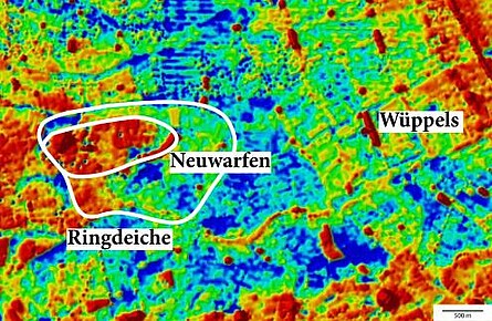
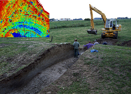
The project aim is the systematic, IT-based capture and modelling of elevation data which had been recorded between the 1960ies and 1980ies. Based on this data, a second stage involves the generation of digital terrain models which provide a much more detailed historic relief than published official map series. For many regions this data modelling allows reconstructing the topographical relief prior to the onset of land consolidation and intensive agriculture, enabling the visualisation of structures that are either no longer extant or which have been reshaped. This methodology also allows identifying archaeological sites that are no longer discernible on the surface. Additionally, comparison of the elevation models with current digital terrain models allows the detection of areas of soil erosion or accumulation, thus providing detailed information on the intensity of landscape changes.
The digital terrain models are available for scientific and local history research aimed at reconstructing historic cultural landscapes.
Organised by Dr. Johannes Ey, Dr. Annette Siegmüller und Dr. Moritz Mennenga, the project is carried out in close cooperation with the Non-profit Organisation for Equality and Socialwork (GPS), Wilhelmshaven Workshop, enabling Michael Lunge to carry out GIS data entry which is required within the scope of the project. Further information is available here.
Bibliography
Spohr, M. 2012: Interpolation von Höhenkoten aus der Landesvermessung. In: Handbuch der Grabungstechnik (Aktualisierung 2010)


