Landscape archaeology in a diving suit in the Bay of Wismar
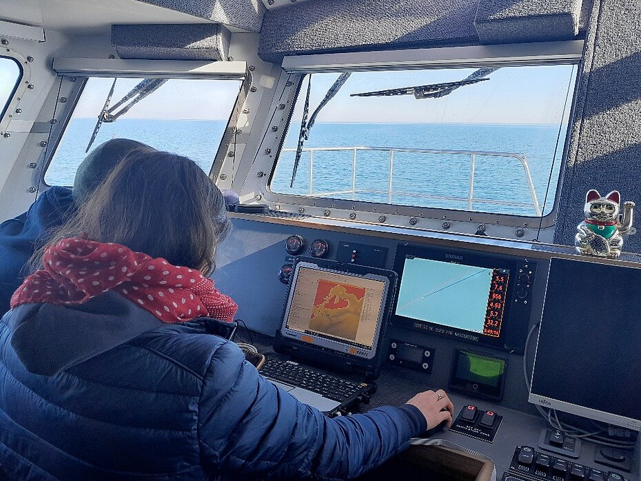
As part of the ERC Synergy Grant SUBNORDICA, the NIhK team is conducting research together with the Leibniz Institute for Baltic Sea Research Warnemünde (IOW), the Schliemann Institute for Classical Studies at the University of Rostock, the Mecklenburg-Vorpommern State Office for Cultural Heritage and Monument Preservation (LAKD) and the University of Szczecin, primarily in the southern Baltic Sea. Over the past few weeks, the interdisciplinary team of scientists from the fields of archaeology, geology/sedimentology and geophysics has been working mainly in the Bay of Wismar. There, the Stone Age settlements are particularly well investigated. Numerous “drowned” settlement sites from the period between 6500 and 3000 BC are already known here. They are situated underwater due to postglacial sealevel rise.
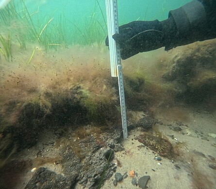
![[Translate to Englisch:] Taucherin bei der Probennahme unter Wasser](/fileadmin/_processed_/5/a/csm_Wismar_Bild2_2c6efbeac0.png)
The SUBNORDICA team is investigating the surroundings of these sites in order to reconstruct the landscape and its development during the Stone Age as well as possible. The aim is to understand which landscape situations were preferred by the Stone Age inhabitants. This information will then lead to a prediction model that will provide information on where further sites in similarly well-preserved underwater landscapes can be expected.
In persistent sunshine and relatively good underwater visibility, the team was able to visit a total of 12 known sites within three weeks, check their preservation and recover Stone Age flint tools from the seabed.
In addition, geophysical measurements were carried out by the IOW. This technique made it possible to visualize and map the surface of the seabed as well as hidden structures beneath it. This revealed backfills in former rivers and lakes, where archaeological finds are often particularly well preserved. The team then used this data to jointly select locations for sampling the sediment.
The focus was on a small, former island whose surface is still preserved today at water depths of between 6 and 9 meters. The divers used a special compressed air device to take a total of 15 sediment samples in plastic tubes up to 2m long.
Measurement data, samples and stone tools are now being analyzed by the various specialists to create a picture of the Stone Age landscape and its use eight to six thousand years ago.