CoastAdapt: Sustainable coastal protection for Lower Saxony
The effects of climate change require constant adaptation measures on the coasts and diverse perspectives, experiences and cooperation between different disciplines are needed. In order to develop new solutions, the interdisciplinary ‘CoastAdapt Science Space’ brings together experts from coastal engineering and coastal research. An internationally visible coastal competence centre is going to be created to gain new insights into sustainable future coastal protection. This is being done under the leadership of the Technical University Braunschweig and in cooperation with Leibniz University Hannover, Carl von Ossietzky University Oldenburg, the Lower Saxony Institute for Historical Coastal Research, the Lower Saxony State Agency for Water Management, Coastal Defence and Nature Conservation and the Lower Saxony Wadden Sea National Park Authority. The project is funded by the Volkswagen Foundation and the Lower Saxony Ministry of Science and Culture.
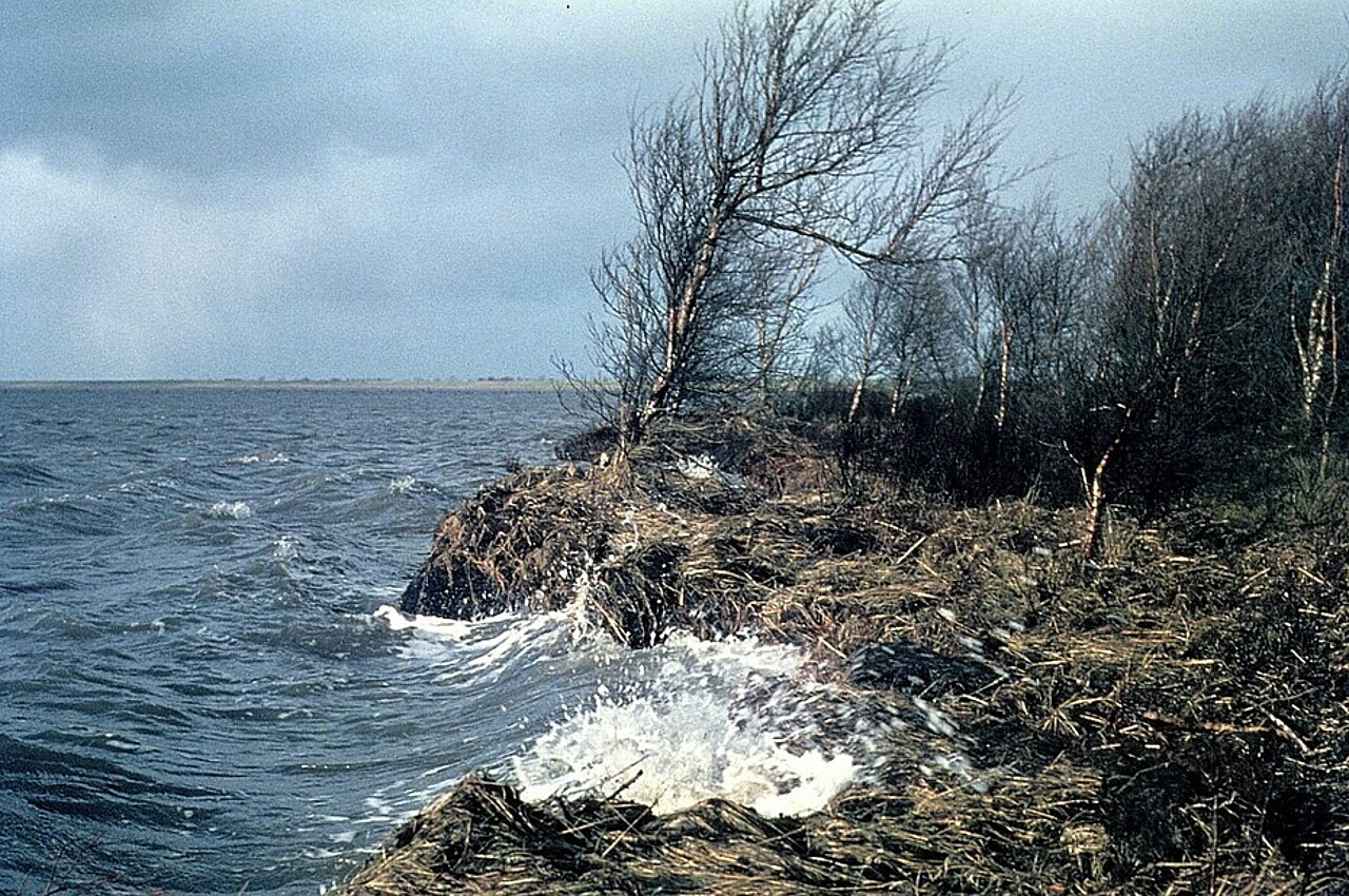
The NIhK is contributing its expertise under the guiding principle of ‘learning from the past and gaining knowledge for the future’. Before dykes were built, our North Sea coast had a fundamentally different appearance. There were wide transition zones between the open Wadden Sea and the mainland, which played a key role in the coastal area's ability to adapt to a rising sea level and served as a buffer zone during storm surges. Now, this is going to be researched in detail in order to incorporate the knowledge of natural adaptation mechanisms of the coastal landscape from the time before dike construction into possible coastal protection strategies for adaptive and nature-based coastal protection.
In order to address this objective, a detailed analysis of archive data and experiential knowledge will be conducted, which will be combined with recent field data. The focus is on sedimentary deposits within peat horizons. These can be interpreted as storm surge deposits and provide information on the influence of storm surges on the undiked coast. How far and how strong did the water inundate the hinterland? Did storm surges accelerate coastal erosion in the course of sea level rise? Are there regions particularly vulnerable to erosion and if yes, what are the geological preconditions? What was the spatial distribution of different coastal zones, and how did it change over time? For example, were there coastal peatlands adjacent to tidal flats that were directly impacted and eroded by storm surges? Or were broad salt marsh belts common, providing natural protection due to their vegetation and slightly elevated position? The project team will now address all of these questions so that the findings can be integrated into sustainable coastal protection strategies.
The project at the NIhK is led by Dr Friederike Bungenstock and Dr Martina Karle. Dr Ines Bruns is employed as a research associate within the project.