Taken off with new technology
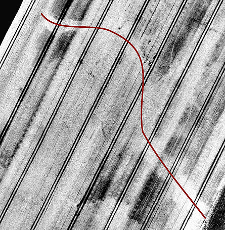
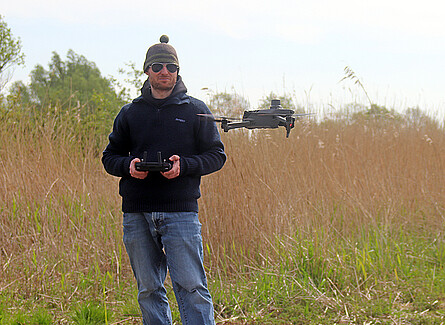
Non-destructive measurements of structures hidden in the ground play an important role in archeology in general and also in the research at the NIhK. But often it is too wet or the agricultural use does not allow access or driving on the areas to be examined. In such cases, aerial prospecting with the help of drones might be an alternative tool; they enable to gather information about archaeological structures and findings, but also about landscape elements, to be obtained completely non-destructively and from a bird's eye view. Also the NIhK has recently got a multispectral drone. In addition to color photos, this small aircraft can also be used to take photos but also to document narrow spectral ranges (red, green, near infrared and infrared). The data obtained in this way are processed and high-resolution information on the growth conditions of the plants growing in the documented areas can be obtained. Since traces of settlement located underground, such as walls, ditches, pits or pavings, largely influence the supply of plants with nutrients and water, mapping the respective growth of the plants can provide important information for settlement research. At various sites - in the area of the East Frisian monastery Ihlow, a Roman-Iron Age creek in the Stader Marsch and in the surrounding of a medieval ringfort on Föhr-island- the system has shown that it can provide similar to geomagnetic measurements, numerous data about structures located underground.